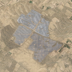
Professional Satellite Imagery for News Organizations
SkySpera provides broadcasters and news organizations with immediate access to high-resolution satellite imagery from anywhere on Earth. Our service is specifically designed for the fast-paced demands of news reporting, offering continuously updated imagery with full broadcast rights included.
Whether you're covering breaking news, environmental changes, infrastructure development, or global events, our satellite imagery gives your audience a unique perspective that ground-level reporting cannot provide.
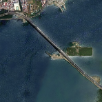
Global Coverage
Access satellite imagery from every corner of the planet. From remote regions to urban centers, we provide comprehensive coverage for any story.
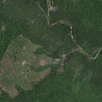
Real-Time Updates
Our imagery is continuously refreshed, ensuring you have the most current visuals for developing stories and breaking news situations.
Broadcast Ready
All imagery comes with full broadcast rights, eliminating licensing concerns and allowing immediate use across all your media platforms.
Intuitive Interface
Our platform is as easy to use as Google Maps, requiring no specialized training. Find, preview, and download imagery in minutes.
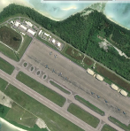
High Resolution
Order custom high-resolution, up-to-date imagery for stories requiring exceptional detail and clarity.
Rapid Delivery
Fast turnaround times ensure you meet tight deadlines without compromising on image quality or coverage area.